


Historical Disaster Events
1864 - Flooding, Gatton
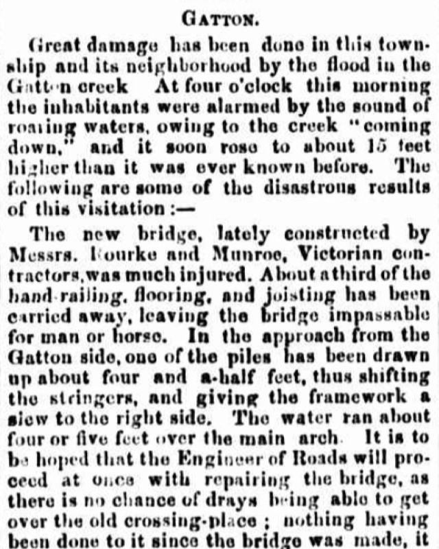
At four o'clock in the morning, inhabitants of Gatton were woken by the sound of roaring waters as the creek 'came down'. The creek rose 15 feet (4.5metres) higher than previously recorded and caused significant damage to the newly constructed bridge, washed away fencing and infrastructure, and affected low‑lying properties, with some residents needing to move to higher ground as water levels rose.
The store of Mr. F. Lloyd was underwater and all the flats about Gatton were converted into lakes.
1887 - Flooding, Laidley
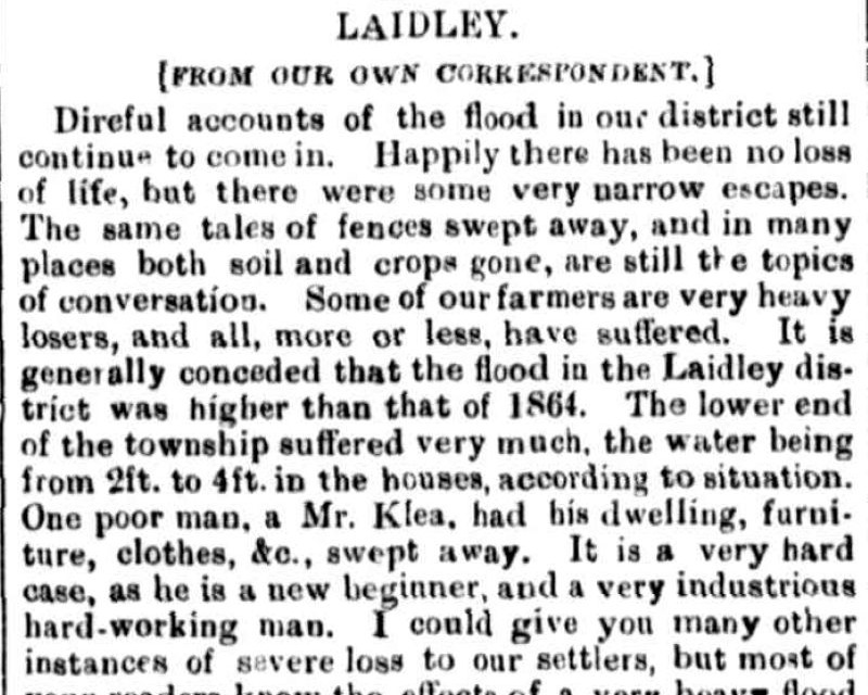
A devastating flood swept through the Laidley Valley, destroying homes, crops, fences and livelihoods, leaving widespread damage and loss across the community. Farmers expected it to take 5 years to recover from the losses. Residents described a terrifying night of rising waters, darkness, and uncertainty, with many forced to flee or seek refuge as the flood surged through the township.
1890 - Flooding, Regional
Image credit - State Library of Qld. 1890's, Laidley.
Following months of heavy rain, repeated flooding in early 1890 caused Laidley Creek and surrounding waterways to rise rapidly, inundating streets, farms and buildings, with water levels exceeding those of the 1887 flood.
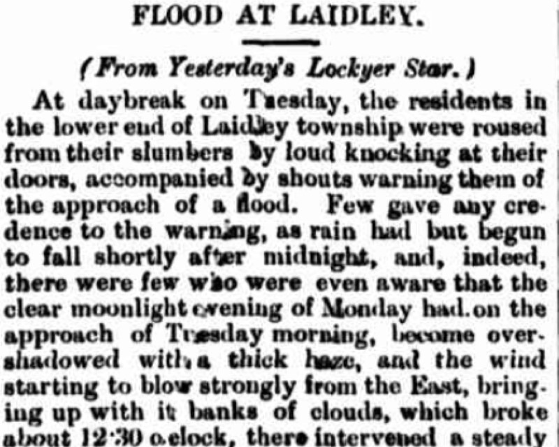
The floods damaged infrastructure, disrupted transport, and affected communities across Laidley, Gatton, and surrounding districts, with multiple flood events occurring in quick succession.
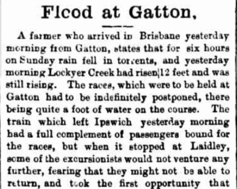
Image credit - State Library of Qld. 1890's, Laidley.
1890 - Hailstorm, Laidley
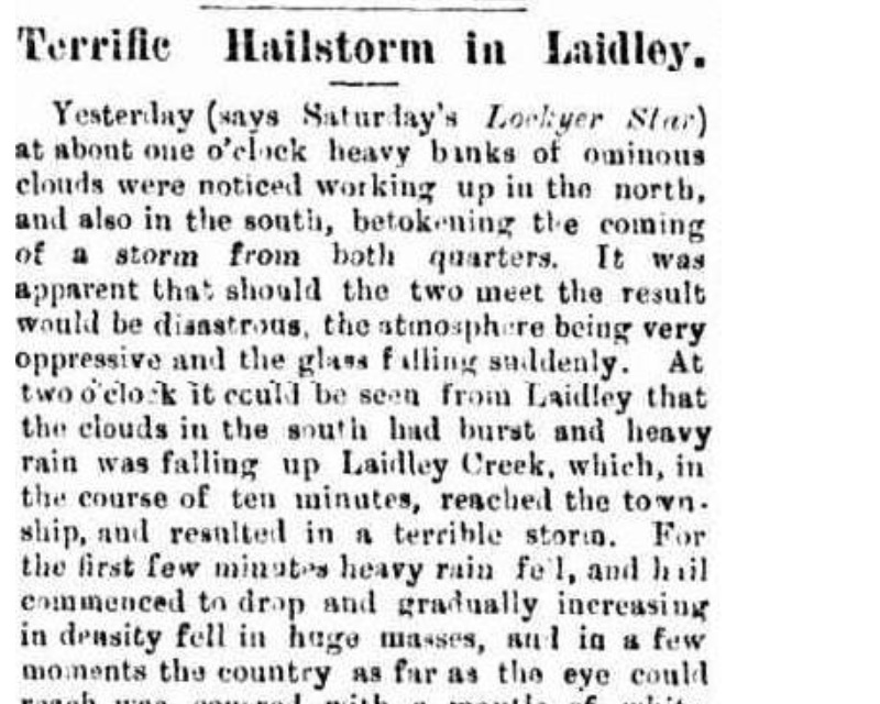
A violent double-front storm swept across Laidley and district, pelting the area with dense hail and torrential rain that stripped crops, battered livestock, disrupted communications, and left farms and orchards across the valley in ruin.
At about 1 o'clock in the afternoon, clouds approached from the north and the south. The storm from the south dumped heavy rain up Laidley Creek before reaching the township. Hail fell and in a matter of minutes it was white as far as the eye could see.
Not long after this storm had finished, the storm from the north approached which also resulted in large amounts of rain and hail - the heaviest seen in the district for some years. The worst impact was from Forest Hill to Laidley although Sandy Creek and Hatton Vale districts were also impacted.
1893 - Flooding, Regional
Image credit - Laidley Historical Society. 1893, Patrick Street, Laidley.
In February 1893, three separate floods were recorded across the region. The Lockyer Creek gauge, located at the railway bridge, recorded its highest event on record. The 1893 flood level at its peak on 15th February of 16.33m is the highest recorded flood at Gatton to this day.
Monthly rainfall total recorded at Laidley Post Office was 650mm - eight times the median rainfall for the month of February.
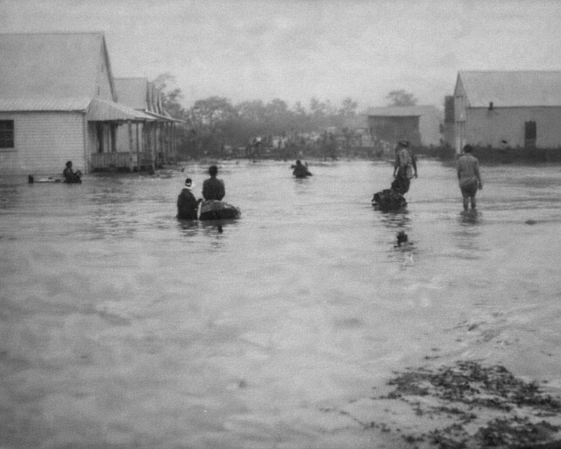
Image credit - Laidley Historical Society. 1893, Patrick Street, Laidley.
The exceptionally heavy rain in February 1893 caused the Lockyer Creek and its tributaries to overflow, inundating large areas of the valley, destroying crops, damaging bridges and railway infrastructure, and displacing residents who sought refuge on higher ground. One young man was drowned while attempting to cross Blackfellow Creek.
Across Laidley, Gatton, and Murphy’s Creek, floodwaters caused extensive agricultural losses, disrupted transport, and left many communities isolated.
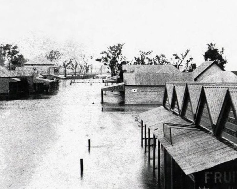
Image credit - Laidley Historical Society. 1893, Laidley.
At Forest Hill, the flood was greater in height and caused more damage than in 1890. Water was reportedly over the telegraph wires in Grantham.
Thankfully, Blackfellow Creek did not have as much water as 1890 (9 feet or 2.75 metres lower) which saved many areas from devastation. Near the Gatton racecourse, as much as two acres of cultivated land was lost.
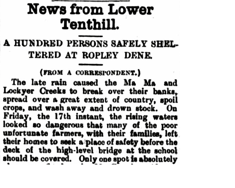
Many residents were forced to leave their homes and seek shelter with neighbours on higher ground. There are many newspaper articles from the period documenting the impacts to the region.
23 Feb 1893 - News from Lower Tenthill. - Trove
28 Feb 1893 - Murphy's Creek. - Trove
23 Feb 1893 - Floods in the Laidley District - Trove
23 Feb 1893 - The Flood at Gatton. - Trove
1904 - Severe Storm, Forest Hill
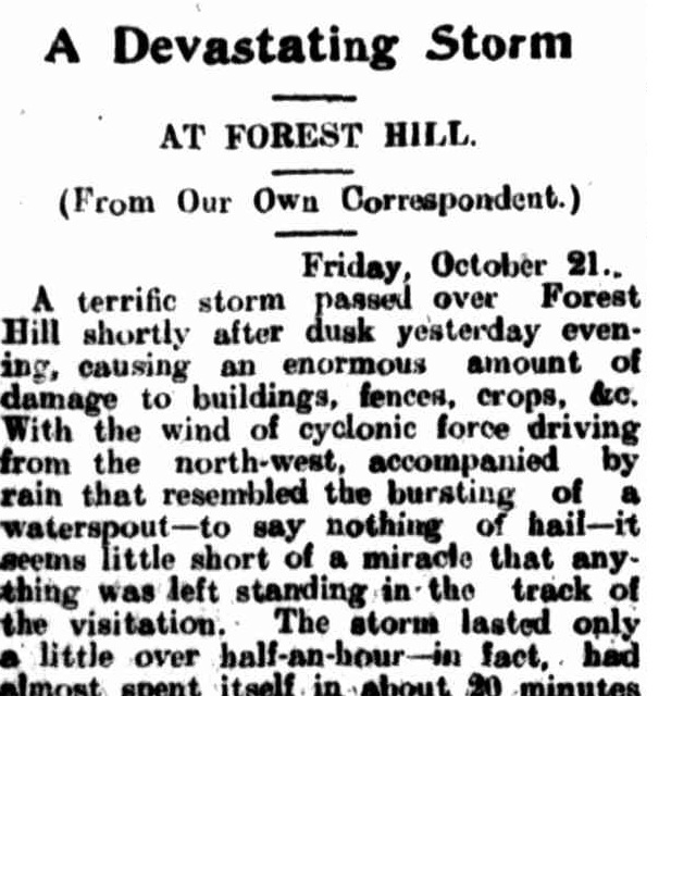
A short but intense storm struck Forest Hill in October 1904, bringing cyclonic winds, heavy rain and hail that damaged homes, farm buildings and infrastructure while flooding low-lying areas. Despite its brief duration, the storm caused extensive localised destruction to property, crops and fences with many residents forced to seek temporary shelter.
In less than a half hour, 4.5 inches (114mm) of rain was registered, homes and business were unroofed and farm buildings badly damaged.
1914 - Severe Storm, Helidon
A severe cyclonic storm struck Helidon in April 1914, damaging homes, churches, businesses, and railway infrastructure while uprooting trees and destroying crops across the district. The storm left the township heavily affected, with widespread structural damage, disrupted communications, and economic losses estimated at several thousand pounds.
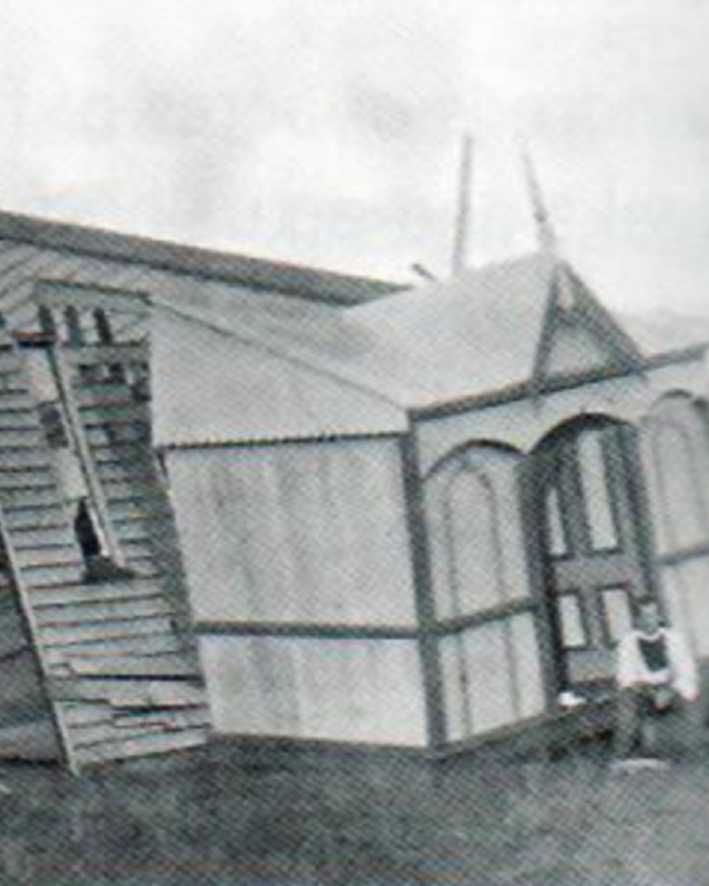
Image credit - Gatton & District Historical Society
This image of the 'cyclone damaged' Methodist Church at Helidon is noted as being from 1912.
See Trove article for the 1914 account.
1931 - Heatwave, Regional
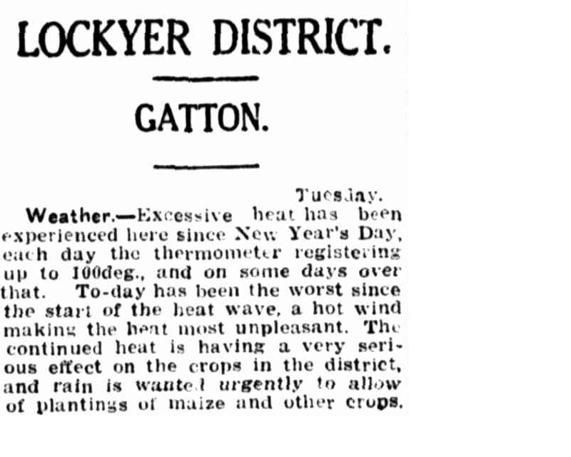
An extended period of extreme heat in early 1931 saw temperatures regularly exceed 100°F (38°C) across the Lockyer Valley, placing severe stress on crops and creating urgent concern for agricultural conditions. The prolonged heat, combined with hot winds and lack of rainfall, significantly affected planting and highlighted the need for rain to prevent further losses.
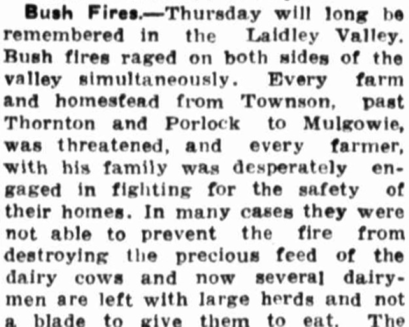
1936 - Bushfires, Regional
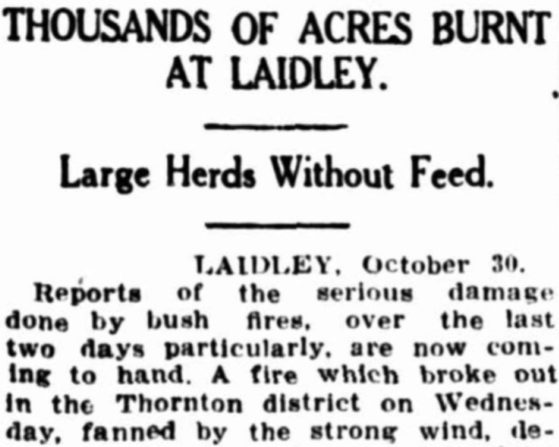
Extensive bushfires swept across the Lockyer Valley in late October 1936, threatening farms from Gatton to Mulgowie, destroying feed, and burning large areas of grass and timber. Strong winds drove the fires rapidly through the district, forcing residents to defend homes and evacuate families while coordinated efforts by farmers and local crews helped limit further losses.
1951 - Flooding, Lockyer Creek
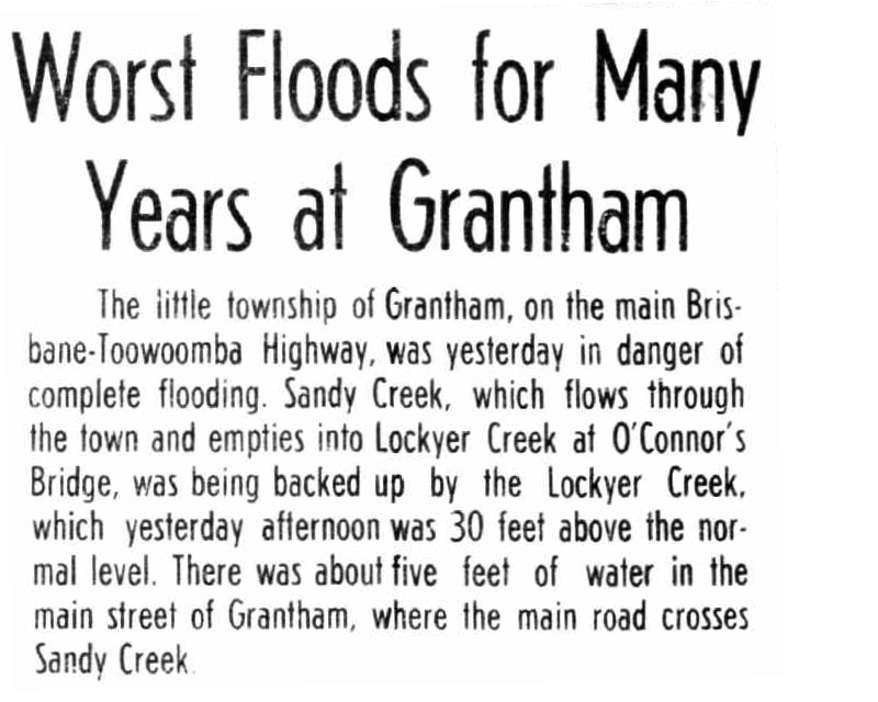
Severe flooding in early 1951 caused Lockyer Creek and its tributaries to rise rapidly, inundating parts of Grantham, isolating Gatton, and damaging crops, orchards, and infrastructure. Rising floodwaters overtopped bridges and roads, with vehicles swept away and transport routes disrupted as communities moved to higher ground.
01 Feb 1951 - Worst Floods for Many Years at Grantham - Trove
06 Feb 1951 - Truck Caught in Flood - Trove
31 Jan 1951 - Heavy Truck Washed Off Bridge by Flood - Trove
1959 - Flooding, Regional
Image credit - Laidley Historical Society. 1959, Looking toward Patrick Street, Laidley
In February 1959 Laidley experienced its worst recorded flood to date as a result of Cyclone Connie. Local severe flooding resulted in 1 metre of water in some streets of Laidley, flooding business premises. On the 18th February Laidley Creek was recorded as being 2 kms wide and reaching approximately 0.4m higher than the 1893 flood within the township.
Image credit - State Library of Qld. 1959, Glenore Grove Crossroads
Over 20 inches (500mm) of rain fell in the headwaters of Laidley and Lockyer Creeks. Where these waters converged at Glenore Grove can be seen in the image above.
Hundreds of acres of small crops were inundated in the Lockyer Valley with damage proving very costly.
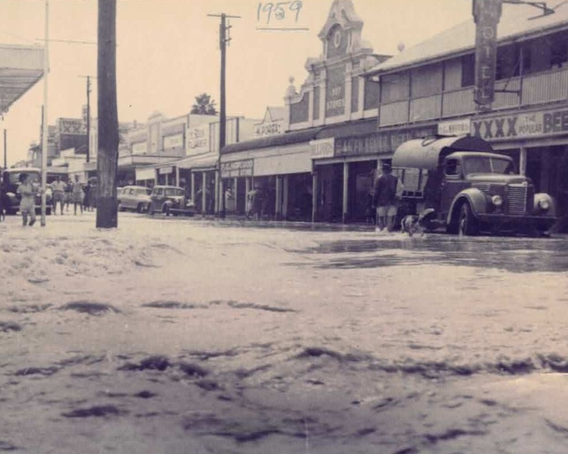
Image credit - Laidley Historical Society. 1959, Patrick Street, Laidley
Rainfall gradually increased from the 16th February, culminating in severe rainfall on 18th February. On that day, both Gatton and Laidley had over 130mm in 24hrs.
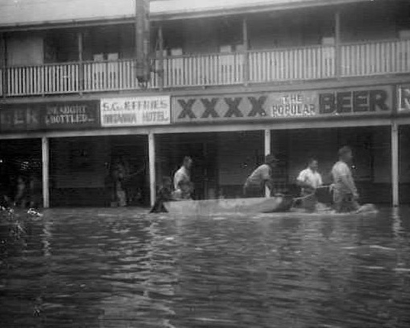
Image credit - Laidley Historical Society. 1959, Patrick Street, Laidley
200 families were evacuated and 50 people were rescued from roof tops.
1965 - Severe Storms and Hail
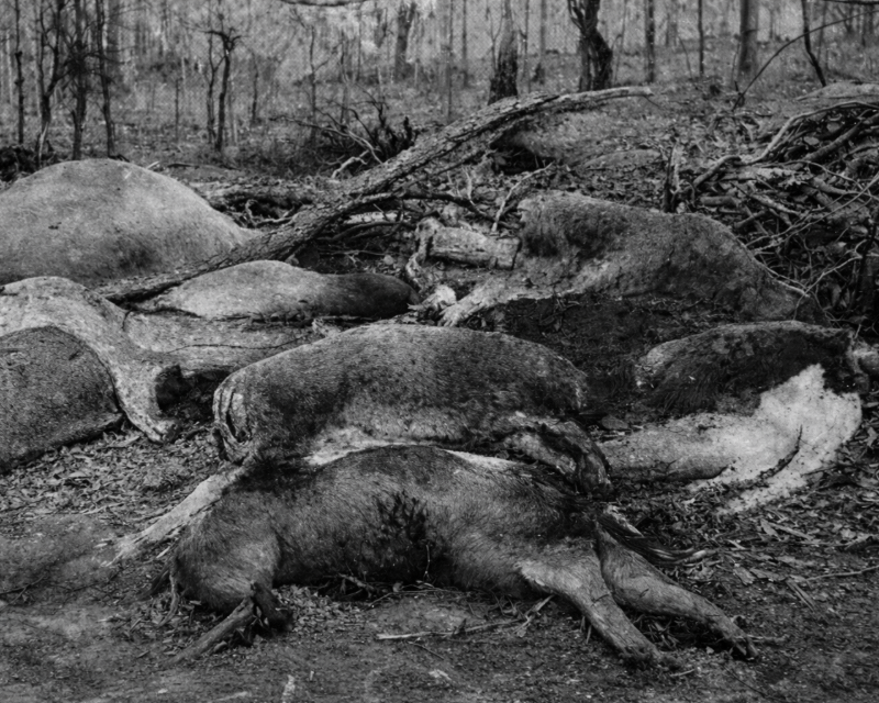
Image credit - Laidley Historical Society. 1965, Frozen Cattle
In July 1965 a hailstorm dumped ice up to five feet (1.5 metres) deep in local waterholes leading to some cattle freezing to death. Livestock were highly vulnerable given the preceding drought conditions and lack of feed.
1974 - Flooding, Regional

On Australia Day 1974, the remnants of Cyclone Wanda impacted the Lockyer Valley. After crossing the coast near Maryborough, the system caused major impact to southeast Queensland. In the Lockyer Valley, significant rainfall led to major flood levels throughout the region.
Similar to the 1959 event, the highest rainfall totals were recorded in the upper reaches of the Laidley Creek system. Some of the highest totals were 652.9mm at Townson East, 568.4mm at Mt Berryman and 503.6mm at Laidley Post Office.
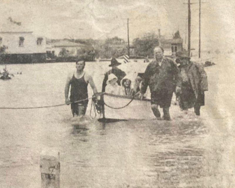
Flooding commenced in Lockyer Creek at 9pm on 25 January and by 9am on Saturday 26 January a major flood was recorded in Lockyer Creek. At the time this was the second highest event on record with a peak water level recorded of 14.63m.
A family in Grantham had about two metres of water through their home and were rescued by boat from their roof. Sandy Creek was reported to be at least half a kilometre wide at one point.
1976 - Flooding, Laidley
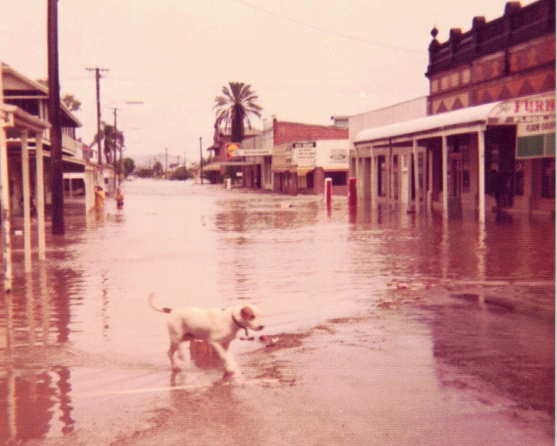
Between 20 and 23 January, heavy rain associated with Cyclone David caused stream rises and flooding across southeast Queensland.
Laidley Creek recorded a major flood in this period with floodwaters entering the township of Laidley.
1977 - Bushfire, Laidley District
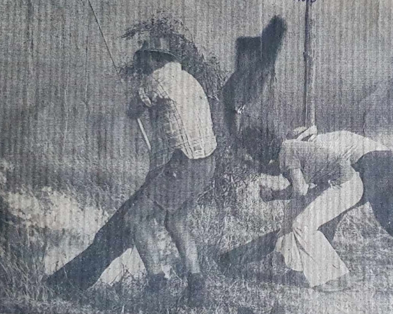
Long time residents described the September 1977 bushfire as the worst in the area's history.
The blaze centered in the Mount Berryman area and spread through to Blenheim and Laidley Creek West.
1988 - Earthquake, Gatton
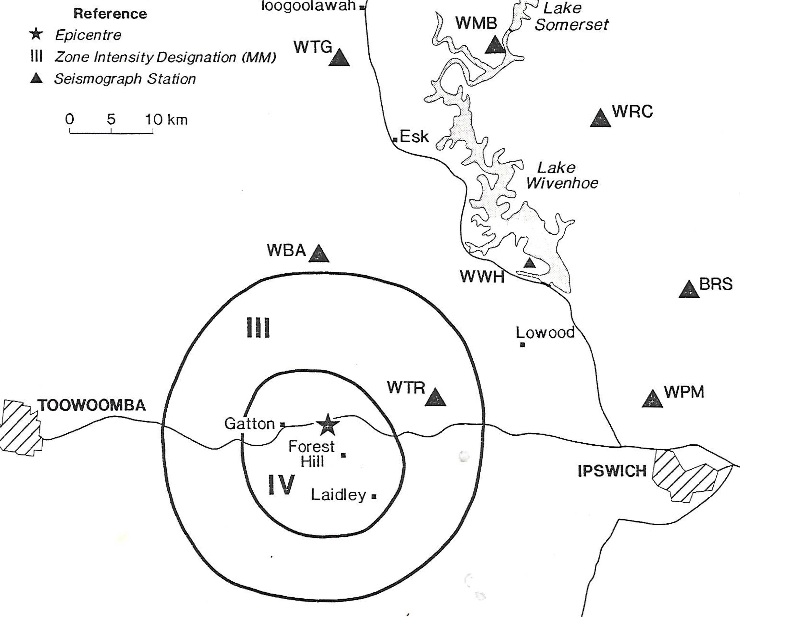
Image credit - Qld Department of Mines - The Gatton Earthquake of 15 August 1988 (R.J. Cuthbertson)
On the morning of Monday 15 August, 1988, residents of the Lockyer Valley were shaken by a moderate earthquake measuring 3.8 on the Richter scale. Seismographs located the event 6km east of Gatton at a depth of 9km. The location was almost directly beneath the Gatton Agricultural College.
There were two aftershocks, the greatest on the same day being magnitude 0.5 within 1.5km of the main shock.
Only isolated instances of minor damage to homes (e.g. cracked brickwork, tiles and plaster) were recorded.
1988 - Flooding, Regional
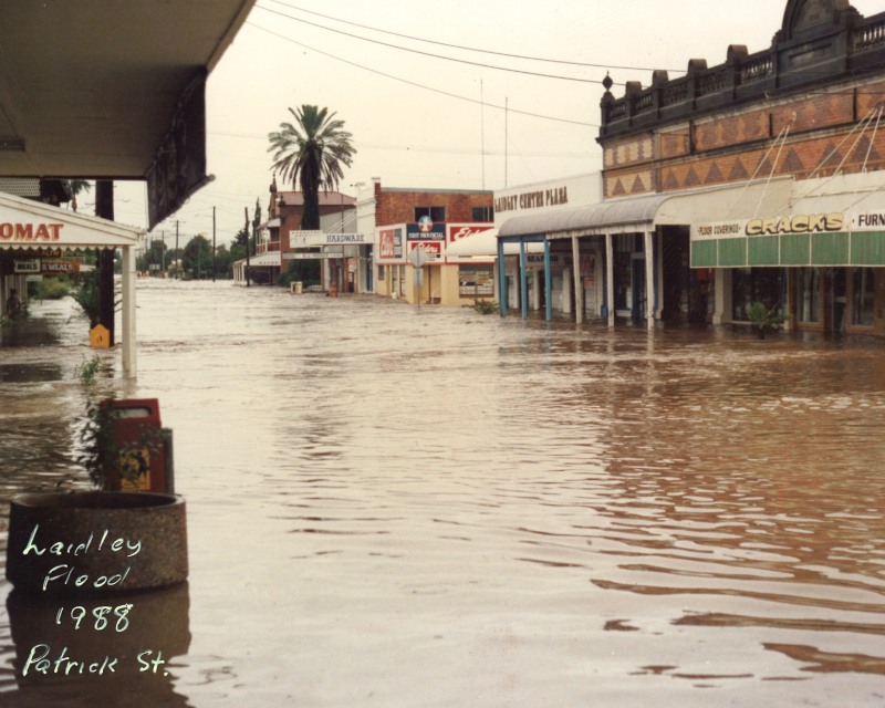
Image Credit - Lockyer Valley SES
In April of 1988, significant flooding of the Lockyer and Laidley Creeks caused crop damage and losses totalling more than $50 million.
1996 - Flooding, Regional

Image credit - Gatton Star. 1996 Motorists wait at Glenore Grove, where flooding cut the Warrego Highway.
After one of the driest Aprils on record, early May 1996 saw severe flooding in in Lockyer Creek with totals greater than 600mm recorded over a 10-day period. 154mm fell in the 24 hours to 9.00am on 3 May at Thornton.
The flooding was the most significant for several years and was the most widespread event for southeast Queensland since January 1974.
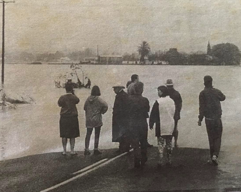
Image credit - Gatton Star. 1996 Flood Scene between Placid Hills and Grantham
The flooding in Lockyer and Laidley Creeks was the worst since 1974 with many houses inundated and over 120 residents evacuated from their homes.
Laidley Creek at Mulgowie reached 9.09m (similar to the January 1974 height of 9.10m) and Glenore Grove 14.30m (highest since January 1974 at 14.94m).
It was estimated the flooding caused the loss of $50 million worth of produce.
2002 - Bushfire, Murphys Creek
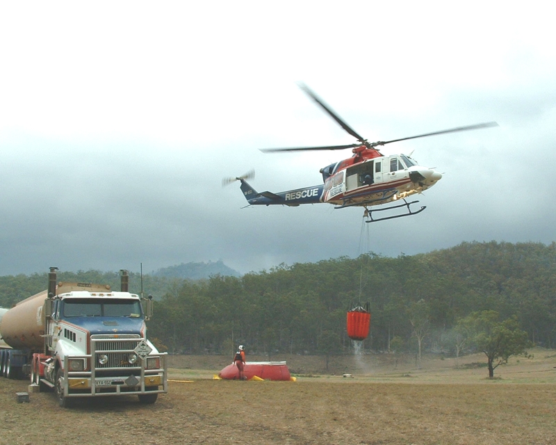
Image credit - Janice Holstein. 2002 Murphys Creek Fires
October-November of 2002 saw a series of large, fast-moving bushfires burn in the Lockyer Valley during an intense drought.
Vegetation throughout the valley was extremely dry, creating what many described as a 'tinderbox'. Strong winds, very low humidity and high temperatures contributed to the fire behaviour.
The main areas of operation were Withcott and Murphys Creek.
2011 - Flooding, Regional
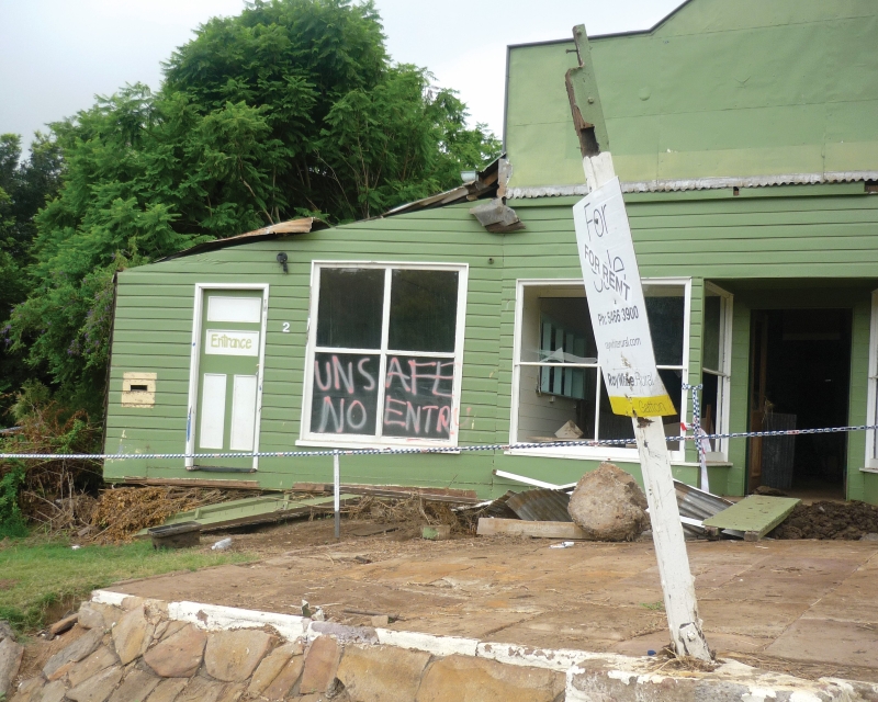
Image credit - Unknown. 2011 Flood, 2 Harris Street, Grantham.
On 10 January 2011 torrential rain caused severe flooding on the escarpment and in the Lockyer Valley, causing unprecedented damage, destruction and loss of life.
Its speed and volume of the water devastated everyone and everything in its path.
The impact of the devastation was especially tragic in Spring Bluff, Murphys Creek, Postmans Ridge and Grantham.
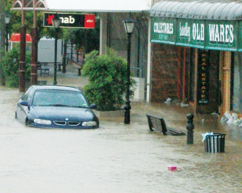
Image credit - Unknown. 2011 Flood, Main Street, Laidley.
Nineteen lives were lost, over 120 homes destroyed, left structurally unsound or significantly damaged and 800 cars swept downstream.
The towns and localities inundated were Spring Bluff, Murphys Creek, Postmans Ridge, Withcott, Flagstone Creek, Helidon, Grantham, Gatton, Forest Hill, Mulgowie, Laidley, Mount Sylvia, Black Duck Creek, Junction View, East Haldon, Glenore Grove, Crowley Vale, Brightview, Regency Downs and Lockrose.
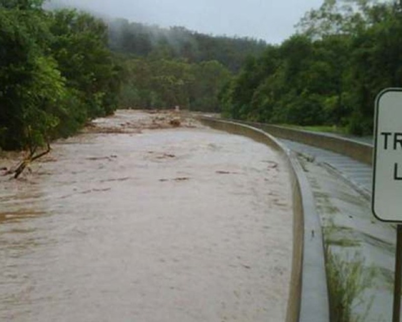
Image credit - Unknown. 2011 Flood.
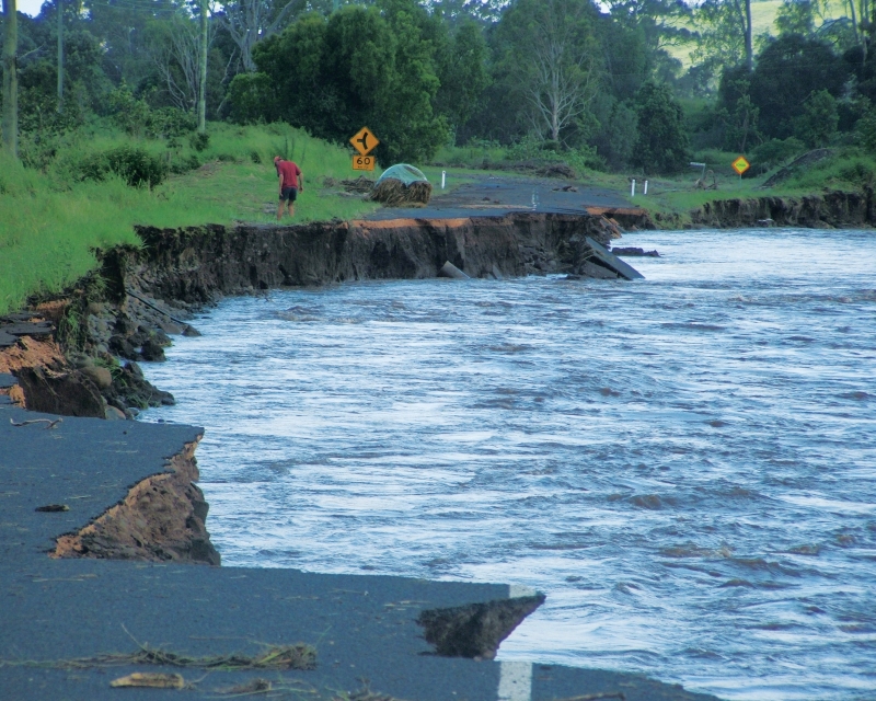
Image credit - Unknown. 2011 Flood.
The fast-flowing water cut its own way through the landscape resulting in catastrophic damage to roads, scarring of creeks and widespread debris.
2013 - Flooding, Regional
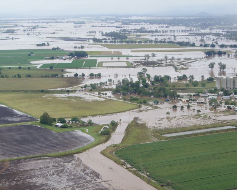
Image credit - Lockyer Valley Regional Council. 2013, Aerial Survey Forest Hill
During the 2013 flood event, major flood levels were recorded along Laidley, Tenthill and Black Duck Creeks. The cause of the inundation was ex-tropical cyclone Oswald which brought heavy rains during the Australia Day long weekend.
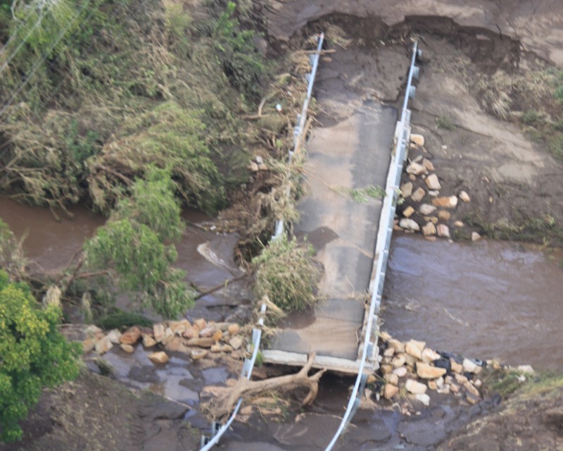
Image credit - Lockyer Valley Regional Council. 2013, Aerial Survey Mulgowie Laidley Creek Catchment
For many landowners and communities, January 2013 was a repeat of 2011's significant damage and disruption. More than 300 Lockyer Valley homes were substantially damaged in the floods.
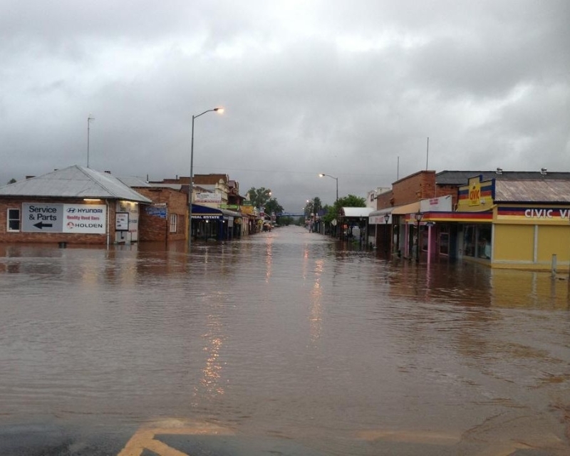
Image credit - Danielle Ellicott. 2013, Patrick Street, Laidley 0600hrs
The most significant rainfall total in the Lockyer was 750mm recorded at Upper Tenthill. 408mm of that total fell in the 24 hours to 9.00am on 28 January.
Laidley township peak flood levels were higher than the 2011 levels.
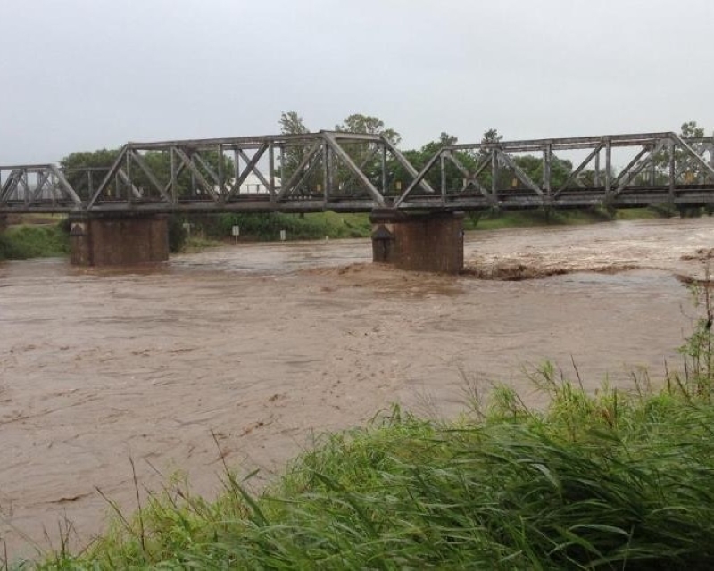
Image credit - Unknown. 2013 Lockyer Creek, Gatton 28 January 0732hrs
Many river gauges came close to or exceeded previous records. Tentill recorded a peak of 9.37m (previous high 8.80m in 2010) and Warrego Highway peaked at 7.41m (previous high 6.77m in 1996)
2019 - Bushfire, Laidley District
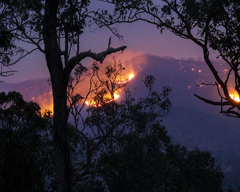
Photo credit - Michelle Kocsis. 2019 Bushfires, Thornton.
A fire, started by a lightning strike on 19 September burnt through more than 57,000 hectares of bushland at Glen Rock, threatened homes and required the evacuation of Mulgowie, Thornton, Townson and Left Hand Branch. Firefighters battled this blaze for 20 days.
On 8 October, gale-force winds and temperatures up to 41 degrees celsius caused the fire danger level to reach 'catastrophic' for the first time in the Lockyer Valley's documented history.
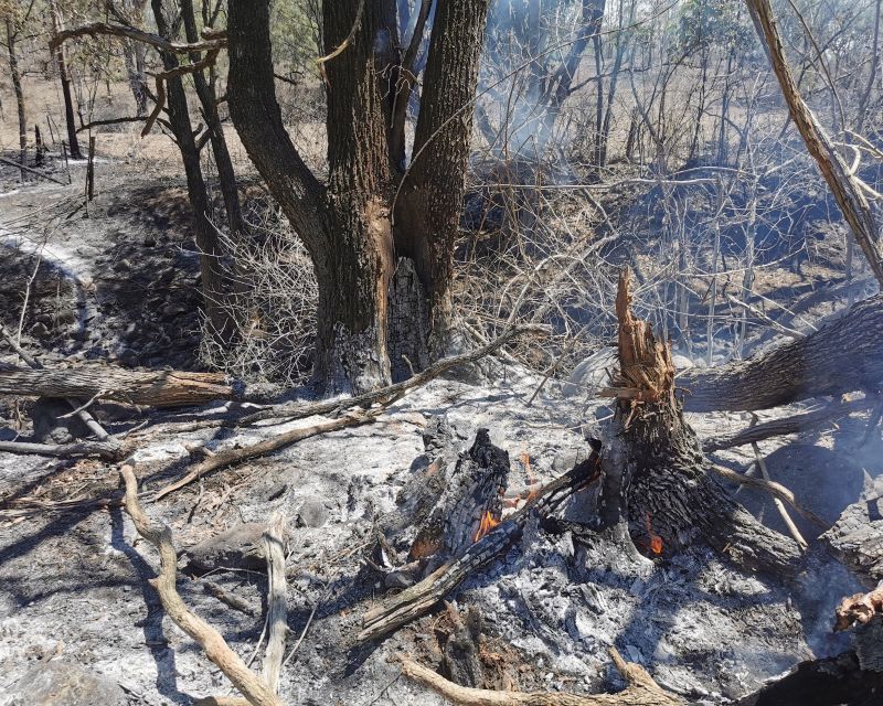
Photo credit - Michelle Kocsis. 2019 Bushfires, Thornton
A fast-moving grass fire in Laidley burned through 70 hectares and led to the evacuation of a number of streets. Unfortunately, one home was lost to the blaze.
At the height of operations, 35 firefighting appliances and 11 aerial units supported the response.
2022 - Flooding, Regional
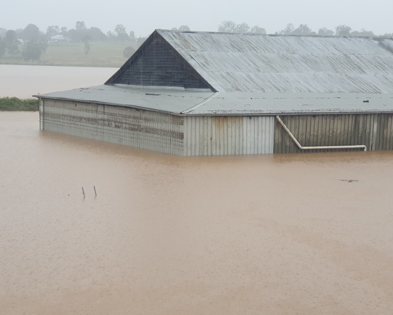
Image credit - Malcolm Dionysius. 25 February 2022, Grantham.
From late February, into March, the region experienced severe weather with intense rainfall that endured for several days, resulting in flooding that locals report as unlike any that has been experienced within the region before, in terms of location, duration the rain fell and the resulting flooding. The higher rainfall totals were recorded in the north of the region.
Approximately 116 homes were inundated: 49 of those saw moderate to severe damage. Seven commercial premises in the townships of Grantham and Withcott experienced inundation.
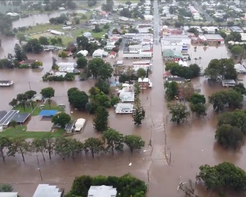
Image credit - YouTube Drone Footage posted by Julia Hoy. 13 May 2022, Laidley Main Street.
In mid-May, a second rain event impacted the region with the heaviest falls occurring in different areas (predominantly the south of the region) to the February event. While a range of rescues and evacuations were carried out, there was no loss of life as a result of either event.
The May event resulted in 65 homes being inundated, ten of which suffered moderate or severe damage. During this event, the majority of damage occurred in the Laidley and Forest Hill townships. Commercial properties inundated were mainly in Laidley with 12 businesses inundated and one inundated in Grantham.
2023 - Hailstorm
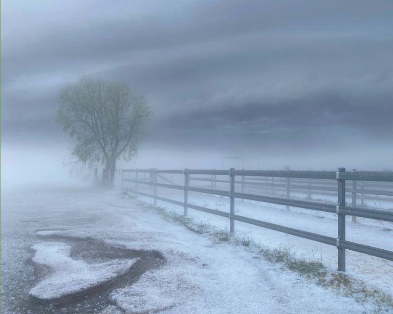
Image Credit - Lockyer Valley Regional Council
Lockyer Valley towns were coated in hail on 10 December 2023. It caused disruption to the electricity network and local agriculture suffered significant damage.
2025 - Flooding, Regional
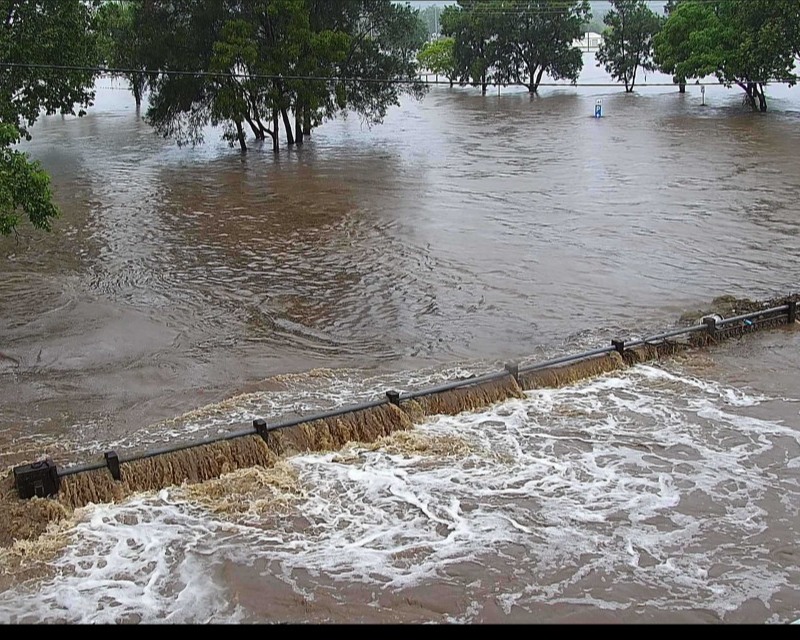
Image credit - Lockyer Valley Regional Council. Flood Camera 10 March 2025 7.46am, Laidley Gully.
The impact of ex Tropical Cyclone Alfred began to pose a significant threat to the Lockyer Valley on the evening of Sunday 10 March. An Emergency Alert was issued for people in the Laidley area with a further alert issued to the entire region as rainfall escalated.
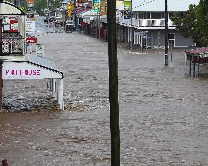
Image credit - Lockyer Valley Regional Council. Flood Camera 10 March 2023 8.46am, Laidley Gully.
Highest rainfall totals included 438mm at Mount Castle, 364mm at Thornton and an unofficial report of 515mm at Lefthand Branch.
Further escalation of the event saw significant increases at the Sandy Creek gauge near Grantham.


